




Legal boundary
International Land Measurement Standard: Due Diligence for Land and Real Property Surveying, 1st edition, published by the International Land Measurement Standard Coalition in May 2019, defines a legal boundary as: ‘An intangible or invisible surface dividing one person’s property from that of another. It is an exact line having no thickness or width. In fixed boundary systems, the coordinates of the boundary points are precisely established, often monumented on the ground and have precedence in law. Usually boundary surveys can only be carried out by licensed or publicly appointed surveyors who represent the state and may have quasi-judicial authority. In general boundary systems, the boundary is rarely identified with any precision either on the ground or in conveyances or transfers. It is not explicitly shown on topographic survey mapping, although in practice many topographic features are coincident with legal boundaries. Ultimately the exact position of a boundary, if disputed, can be determined only by the relevant courts in their jurisdiction.’
See also: Physical boundary.
[edit] Related articles on Designing Buildings
Featured articles
Check out some of the best features and news from Designing Buildings as well as key stories from around the web.

The Building Safety Regulator announces a call for evidence.

Government approach could undermine delivery and regeneration.
World's first mass timber data centre.

The overlooked environmental aspect of data centre development.
Introduction to radon awareness
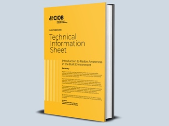
New technical information sheet published by CIOB.

Updated supplier guide can help electrical contractors engage with NHP.

CIAT confirm the winners of the 2026 architectural technology awards.
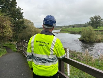
Government launches a one stop shop for flood preparedness.

Sir Edwin Lutyens: Britain's greatest architect? Book review.
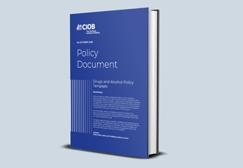
CIOB publishes free template to help assess and manage risks.
ECA's reflections on Party Conference season

Burnham wants to be confident of winning before asking for a fresh mandate.
New Chief Construction and Scientific Adviser

Sergio Cavalaro, Professor of Infrastructure Systems at Loughborough University.
Building safety levy for England

CIAT publish estimator tool for members.
Comments
[edit] To make a comment about this article, or to suggest changes, click 'Add a comment' above. Separate your comments from any existing comments by inserting a horizontal line.